
- Home
- charters
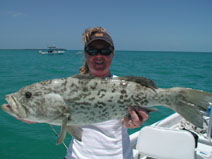
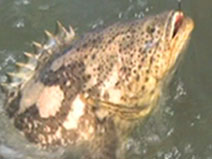
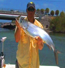
- photos
- Disclaimer
- pay online
- media and events
- weather and tides
- Questions and answers
- contact


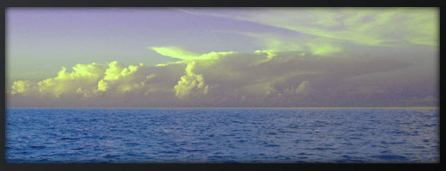
Weather
Crystal River |
Homosassa |
|
WeatherundergroundAccuweatherWeather.comMarine Forecast5-day plot - Water Temp 100Mi Offshore |
WeatherundergroundAccuweatherWeather.comMarine ForecastReal Time at Marker #26 |
|
YankeetownWeatherundergroundAccuweatherWeather.comMarine Forecast
|

|
Tides
2009 Tides- provided by NOAA/NOS |
|||
Crystal River |
Homosassa |
||
Withlacoochee River entrance |
[map] |
Tuckers Island, H. River |
[map] |
Florida Power |
[map] |
Ozello, St. Martins River |
[map] |
Shell Island, north end |
[map] |
Mason Creek, H. Bay |
[map] |
Mangrove Pt. Crystal Bay |
[map] |
Halls River bridge, H. River |
[map] |
Ozello north, Crystal Bay |
[map] |
Johns Island, Chass. Bay |
[map] |
Dixie Bay, Salt River, Crystal Bay |
[map] |
||
Twin Rivers Marina |
[map] |
Chassahowitzka |
|
Kings Bay |
[map] |
Chassahowitzka River |
[map] |

Tide Prediction Software
Download Your Tide Prediction Software! |
|
WXTide Prediction- |
Website |
WXTide Software- |
Download |
Easy Tides- |
Click map tab |
Saltwater Tide Predictor- |
Gulf Coast |